Current article
How RFM is exploring carbon farming opportunities
Rural Funds Management is exploring carbon farming opportunities across selected agricultural assets, including soil carbon, human-induced regeneration and soil carbon measurement initiatives. These projects are designed to support environmental outcomes while improving long-term asset productivity and resilience.
Kaiuroo soil carbon project
RFM has applied to the Clean Energy Regulator for a soil carbon project on a designated lot at the Kaiuroo Aggregation, Yambuk. The project’s objective is to enhance soil carbon levels by modifying grazing practices.
Historically, the property used a “set stocking” approach, where cattle remained in the same paddock for extended periods with limited rest for pastures. This method restricted plant recovery and reduced pasture productivity.
In contrast, the project adopts a time-controlled grazing system. Cattle graze a paddock intensively for a short period before being moved to allow pastures adequate recovery time. This stimulates active regrowth, enabling plants to draw more carbon dioxide from the atmosphere and store it in their leaves, stems and roots. During this growth phase, plants also release carbon-rich compounds known as root exudates, which help build soil organic matter, improve soil structure and enhance nutrient cycling.
To support this grazing approach, additional watering points and fencing will be installed, enabling improved stock distribution and more consistent pasture utilisation. Healthier, more resilient pastures provide higher-quality feed throughout the year, supporting better livestock weight gains, reproductive performance and overall herd health. These improvements are expected to increase carrying capacity and ultimately enhance the productivity and profitability of the asset, aiming to deliver environmental benefits through improved soil health and increased carbon sequestration.

Oakland Park human induced regeneration project
In FY23, RFM applied to the Clean Energy Regulator to register a Human-Induced Regeneration project at Oakland Park, which received conditional approval in FY24. The project has now progressed to the baseline stratification phase, where the project area is classified to establish a precise reference for measuring future regeneration and carbon sequestration.
This next phase of the project involved RFM partnering with a carbon consultant and local Tagalaka Indigenous rangers to map the eligible area, following the approved methodology. This mapping used advanced LiDAR (Light Detection and Ranging) technology. LiDAR’s ability to penetrate canopy layers provides detailed data on forest composition and terrain, which is essential for an accurate baseline assessment.

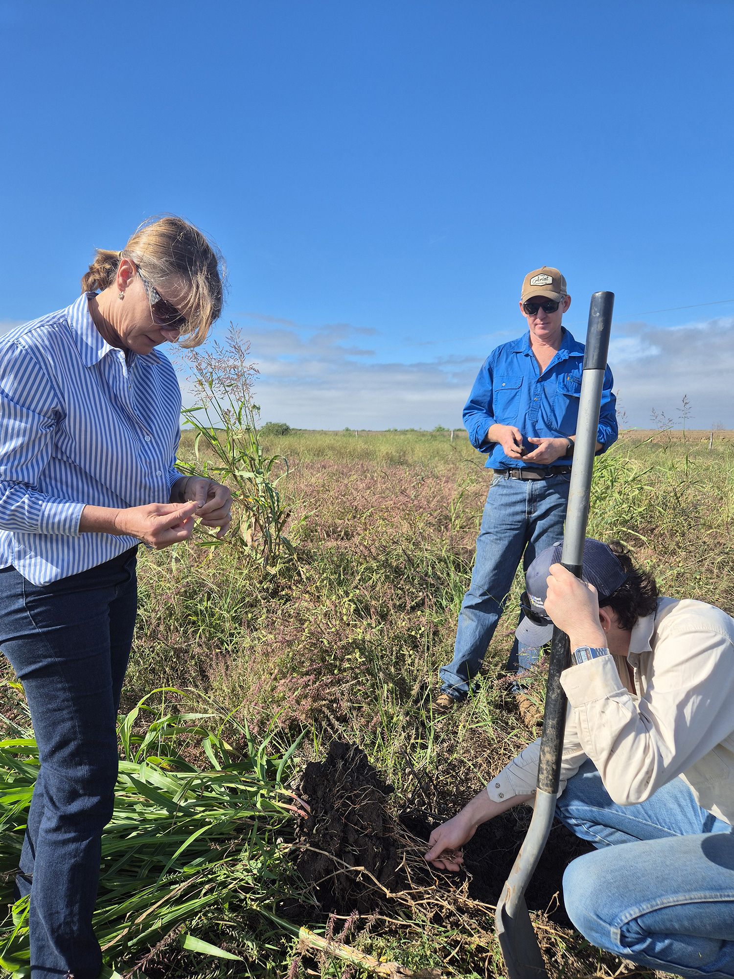
National soil carbon innovation challenge
During FY25, RFM hosted the University of Sydney as part of the National Soil Carbon Innovation Challenge (NSCIC). The NSCIC encourages industry and researchers to develop lower-cost, technological solutions for measuring soil organic carbon through funding research projects.
The activity aimed to inform the development of a probe designed to measure soil carbon levels directly in the field. RFM identified key locations – Lynora Downs and three Maryborough macadamia orchards – for practical testing of this technology, and initial soil carbon assessments conducted at these sites yielded baseline data. These same locations will be retested with the newly developed soil carbon probe once it becomes available, enabling a comparison of results and supporting ongoing validation of the probe’s effectiveness.
.jpg)
Notes: